
Drone Deploy is a new technology platform that make aerial inspections of many kinds very simple for aerial inspectors.
It’s a sure fact — the drone industry is growing like no other and the things that we can now do with drones are amazing!
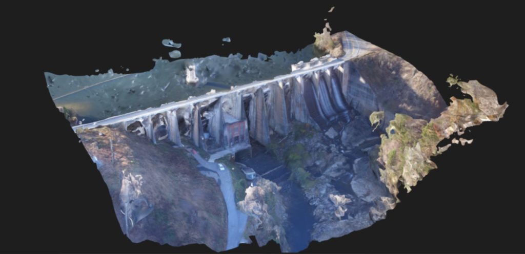
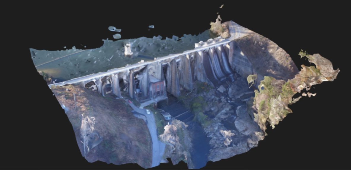
Here is a short look at how I used Drone Deploy software to create a 3D model of a dam nearby.
How does Drone Deploy work?
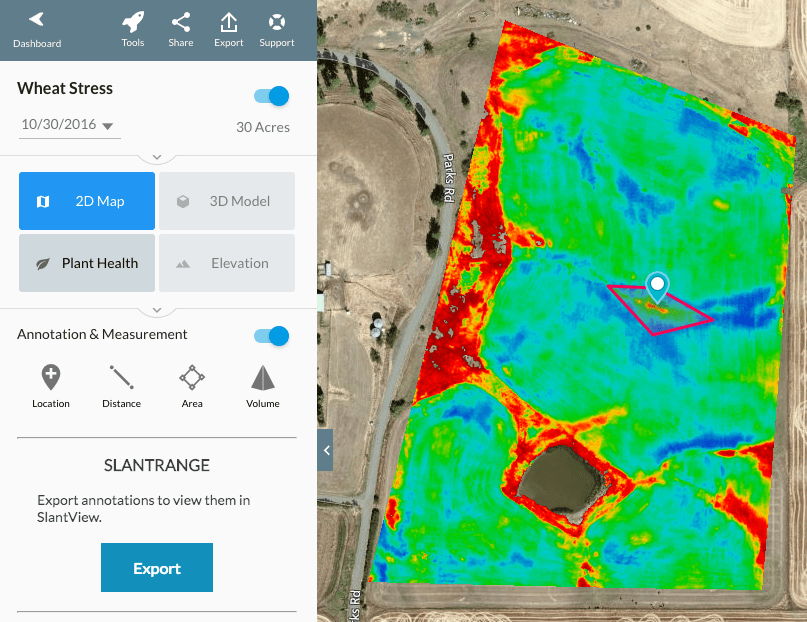
Once the pilot is on location, they open the app. The drone deploy app is very versatile and supports several types of missions – 2D maps, 3D maps, Plant health, and Elevation. For this mission, I chose a 3D model.
Next, you choose what area you want to map. This, of course, depends on what you want to map and what your client needs.
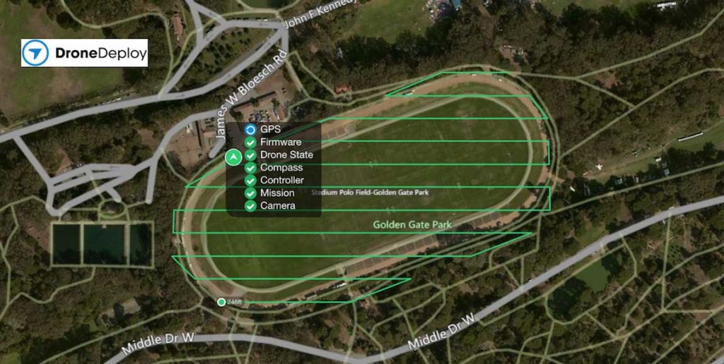
Then drone deploy runs through an automated self check process, takes off, flies the mission, and lands. AMAZING! Have to say. Drone Deploy has done a fantastic job with this app.
Here’s the model I made: